
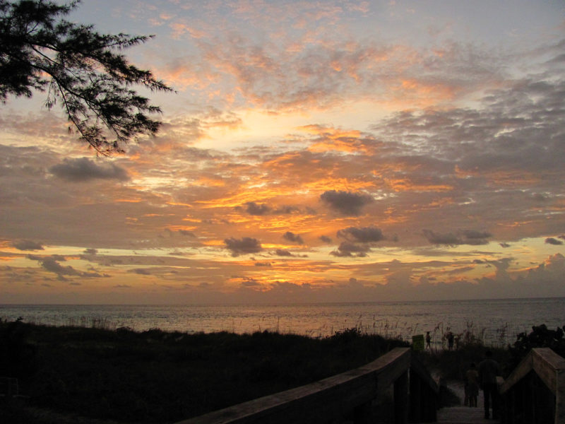
Anna Maria Island is home to some of the most beautiful Florida weather nature you can find. From luxurious beaches to stunning and diverse wildlife, there’s something for everyone to see and enjoy outside. Whether you’d rather be running on the beach, trying to spot a dolphin, or discovering new beautiful sites, there’s no shortage of outdoor fun on Anna Maria Island.
So how do you get to the fun shores of Anna Maria Island from its nearby neighbor of Sarasota? Many visitors pass through Sarasota to get to Anna Maria. But navigating to the island may not always be so easy, especially for visitors unfamiliar with the gulf side of Florida.
Locating Sarasota on the Map
Overall, Sarasota is southeast of Anna Maria Island. Sarasota has a few small neighborhoods, including Sarasota Springs and North Sarasota. Sarasota is against the Sarasota Bay, while Lido Key is directly west, and against the Gulf of Mexico.
Sarasota is a pivotal gateway to the region. Visitors to Lido Key, Siesta Key, and, in many instances, Anna Maria Island, often pass through Sarasota on their island vacation adventure.
Many flying travelers will use SRQ Airport, or Sarasota-Bradenton International Airport. It is undoubtedly Sarasota’s largest airport, and one of the largest in the region for international travel. For travel purposes, you may want to mark the airport’s address of 6000 Airport Cir., Sarasota, FL 34243.
Locating Anna Maria Island on the Map
Anna Maria Island is an elongated island that spans about seven miles. You can almost see the water on each side because it is such a thin vacation escape. It averages about two miles wide, and spans from the city proper on the northern end to Bradenton Beach towards the south.
Anna Maria Island is directly west of Bradenton and just south of St. Petersburg across a massive body of water called Tampa Bay.
How Long is the Trip From Sarasota to Anna Maria Island?
So how far is it to the island and the many Anna Maria Island houses for rent? Travelling from Sarasota to Anna Maria Island is straightforward if you follow the major arteries.
The drive will take anywhere from 30 minutes on the short end to 50 minutes on the longer end, depending on seasonal traffic. There is no immediate and clear fastest route, as there are three viable options in total.
The two most direct routes to take are US-41 N and US-301 N. Both of these northern routes from Sarasota will take you directly into Bradenton, where you will cut west into Anna Maria Island by either route 64 or route 684. 64 is the northern entrance to the island while 684 will take you closer to the southern side. Both utilize one of two main bridge entrances from the east. If you do take 64, you will hug the water and eventually turn left onto Conquistador Parkway. You will follow this up to one of the two bridge accesses. Take the left at either 684 (44th Ave/Cortez Rd) or 64 (Manatee Ave). Keep an eye out for a left turn which will take you over to the island.
There is another bridge entrance on the very southern tip of Anna Maria Island, and this makes for the most interesting ride. When you leave Sarasota, you can choose to cross directly west into Lido Key. Here, you can follow the only route north all the way into Bradenton Beach and to Anna Maria. The majority of the time this route will be named Gulf of Mexico Drive (or Gulf Drive as you enter Anna Maria Island).
It is a sensational and scenic drive. While usually a few minutes longer than the inland driving of 301 or 41, it is far more satisfying. Beach views can be caught between the small coastal homes, and you can get an idea of the Anna Maria Island lodging as you span the Gulf of Mexico.
We love the island life, and we want to share Anna Maria Island with anyone and everyone. Sarasota is a great entry-point, but the real island life is up in Anna Maria.